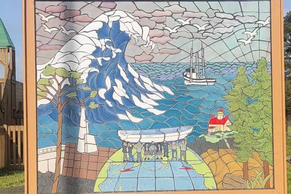
Geographic features make Crescent City, California, particularly vulnerable to tsunamis. Much of the small town, located 20 miles south of the Oregon border, is only a few feet above sea level and the crescent shape of the bay amplifies wave intensity. The Mendocino fracture zone, an irregularity in an underwater ridge, is also believed to focus wave action on the community.
Since the first tide gauge was installed in Crescent City in 1933, more than 30 tsunamis have occurred there. However, oral histories of local native people and geological evidence suggest that tsunamis have battered the Northern California coast for centuries.
The worst recorded tsunami in Crescent City occurred in the early hours of March 28, 1964. An Alaskan earthquake of magnitude 9.2 caused waves to surge south along the western coast of North America. Not quite five hours after the seismic disruption, three small waves washed into Crescent City, resulting in minimal damage along the waterfront and a false sense that what had taken place could be overcome.
The fourth wave, which was preceded by the harbor draining completely to the sea floor, crested at nearly 21 feet and slammed into the downtown. The catastrophic wave killed 11 people, injured another 24, and devastated 29 city blocks, two-thirds of Crescent City.
Over 289 commercial buildings and homes were destroyed, with an estimated value of more than $14 million (over $140 million in 2025). According to the University of Southern California’s Tsunami Research Center, the event remains “the largest and most destructive recorded tsunami to ever strike the United States Pacific Coast.”
Gone was the 19th-century town that developed following the discovery of gold and was built economically upon the logging industry. Rebuilding began almost immediately and continued for a period of years. The land between Front Street and the Pacific Ocean was elevated 10 feet and, except for a few civic buildings, repurposed as Beachfront Park.
The Army Corps of Engineers installed wave-dissipating concrete blocks, known as dolosse, to fortify the jetty. And Crescent City produced its tsunami walking tour, nine two-sided panels that on one face look back at the 1964 tragedy and on the reverse, advise residents and visitors how to prepare in the case of a future event.
Development of the waterfront park and the history of Army Corps interventions are among the topics presented on the didactic panels. Also described is how the civil defense systems at the time were inadequate and a tragic rescue attempt resulted in almost half of the 11 deaths.
The northern boundary of the Redwood National and State Parks is just south of Crescent City and there are numerous informative National Park Service signs in the area in addition to those that make up the tsunami walking trail.


